🎉 Up to 70% Off Selected ItemsShop Sale
Northern Ireland The Mournes 1:25000 Activity Map
See the best of Northern Ireland’s rugged landscape, from granite peaks to stunning coastlines. This map covers all of the area’s most popular routes, including Slieve Croob, the Murlough Nature Reserve and Castlewellan Forest Park.
- Water-resistant paper map
- 1:25000 Scale
- Language: English
- Dimensions: 35.5 x 21.8 x 0.9 cm
- Weight: 124 g
Map highlights
- Annalong Valley
- Castlewellan Forest Park
- Granite Trail
- Mourne Wall
- Mourne Way Rosstrevor to Newcastle
- Murlough National Nature Reserve
- Newcastle Way
- Silent Valley
- Slieve Donard
- Tollymore Forest Park
- Ulster Way Rosstrevor to Newcastle
$3.90
Original: $13.00
-70%Northern Ireland The Mournes 1:25000 Activity Map—
$13.00
$3.90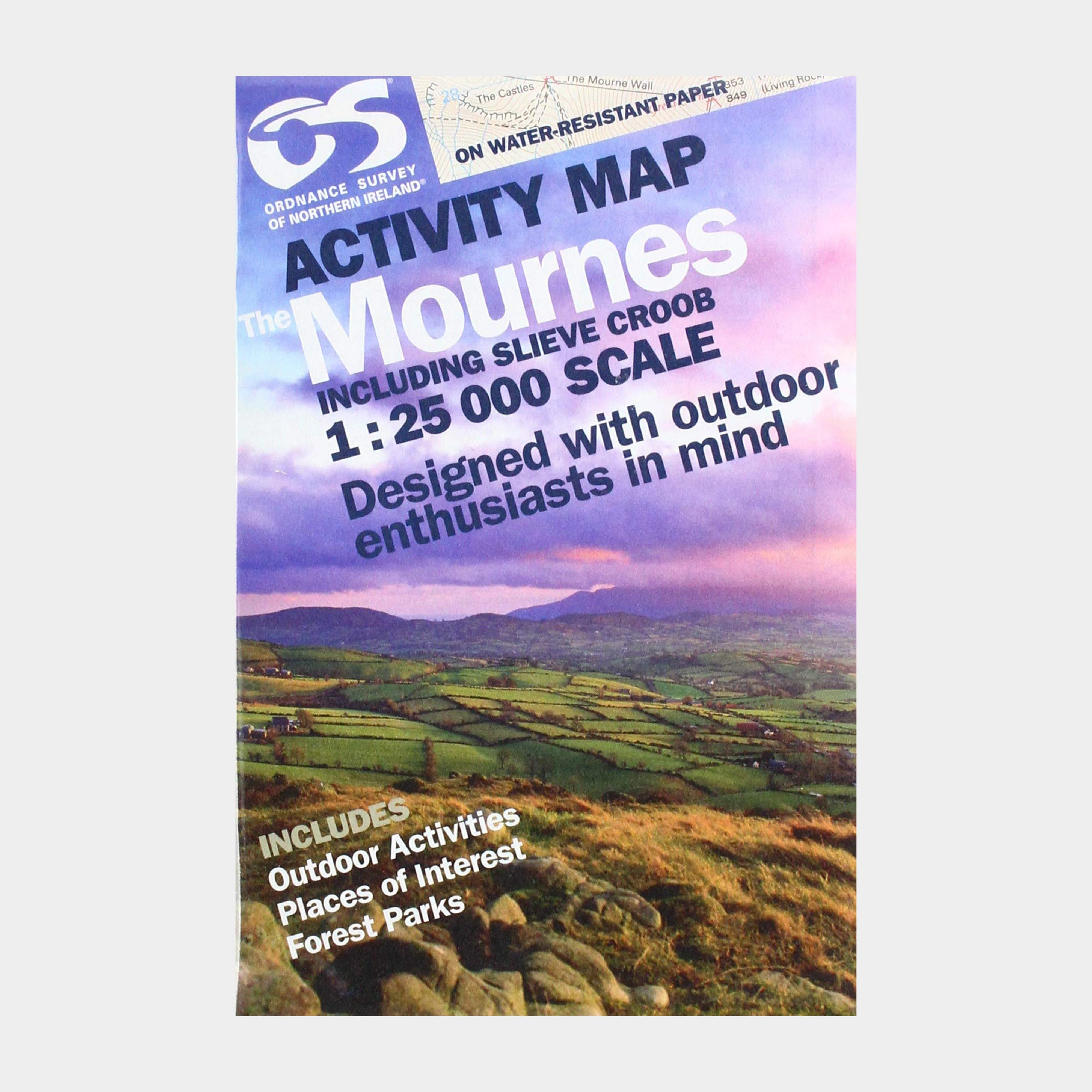
Description
See the best of Northern Ireland’s rugged landscape, from granite peaks to stunning coastlines. This map covers all of the area’s most popular routes, including Slieve Croob, the Murlough Nature Reserve and Castlewellan Forest Park.
- Water-resistant paper map
- 1:25000 Scale
- Language: English
- Dimensions: 35.5 x 21.8 x 0.9 cm
- Weight: 124 g
Map highlights
- Annalong Valley
- Castlewellan Forest Park
- Granite Trail
- Mourne Wall
- Mourne Way Rosstrevor to Newcastle
- Murlough National Nature Reserve
- Newcastle Way
- Silent Valley
- Slieve Donard
- Tollymore Forest Park
- Ulster Way Rosstrevor to Newcastle