🎉 Up to 70% Off Selected ItemsShop Sale
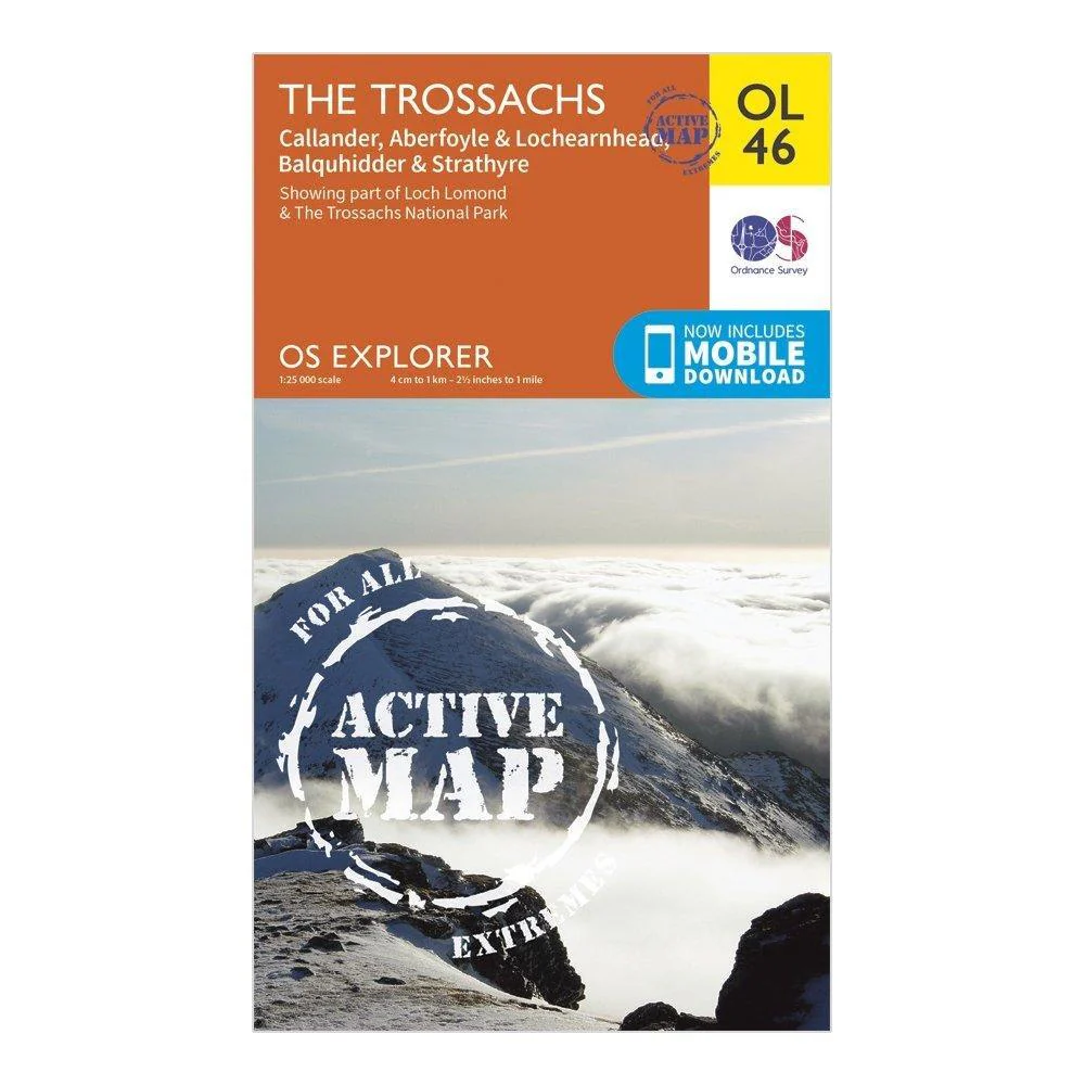
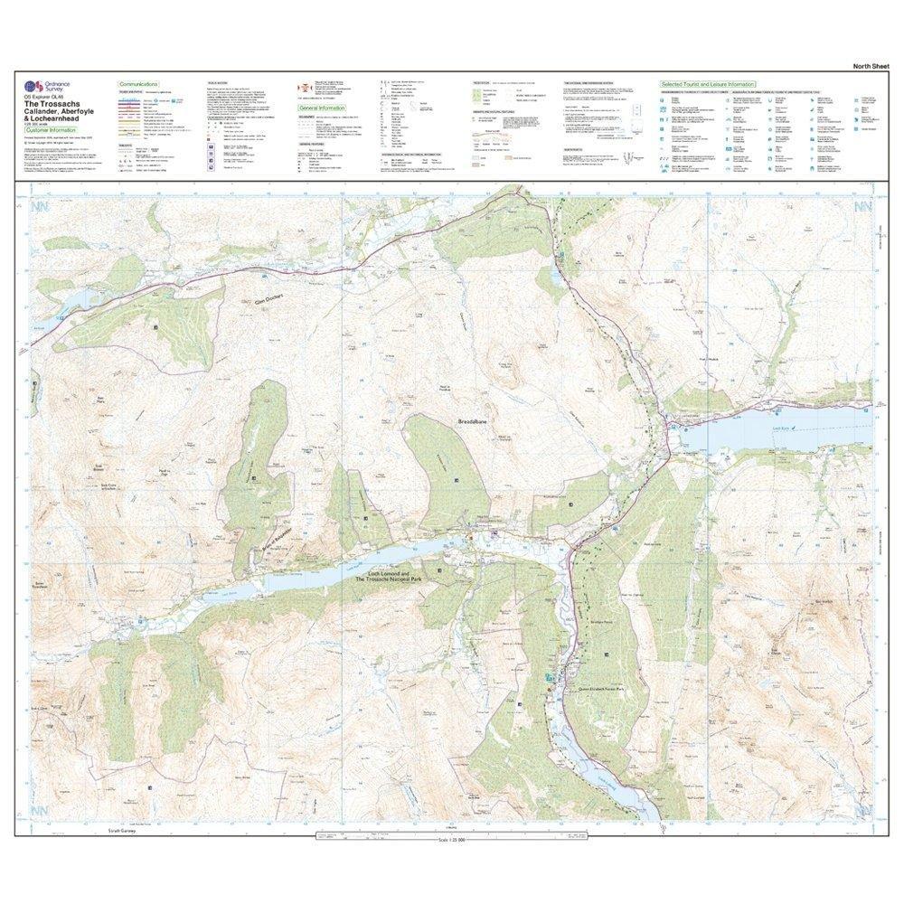
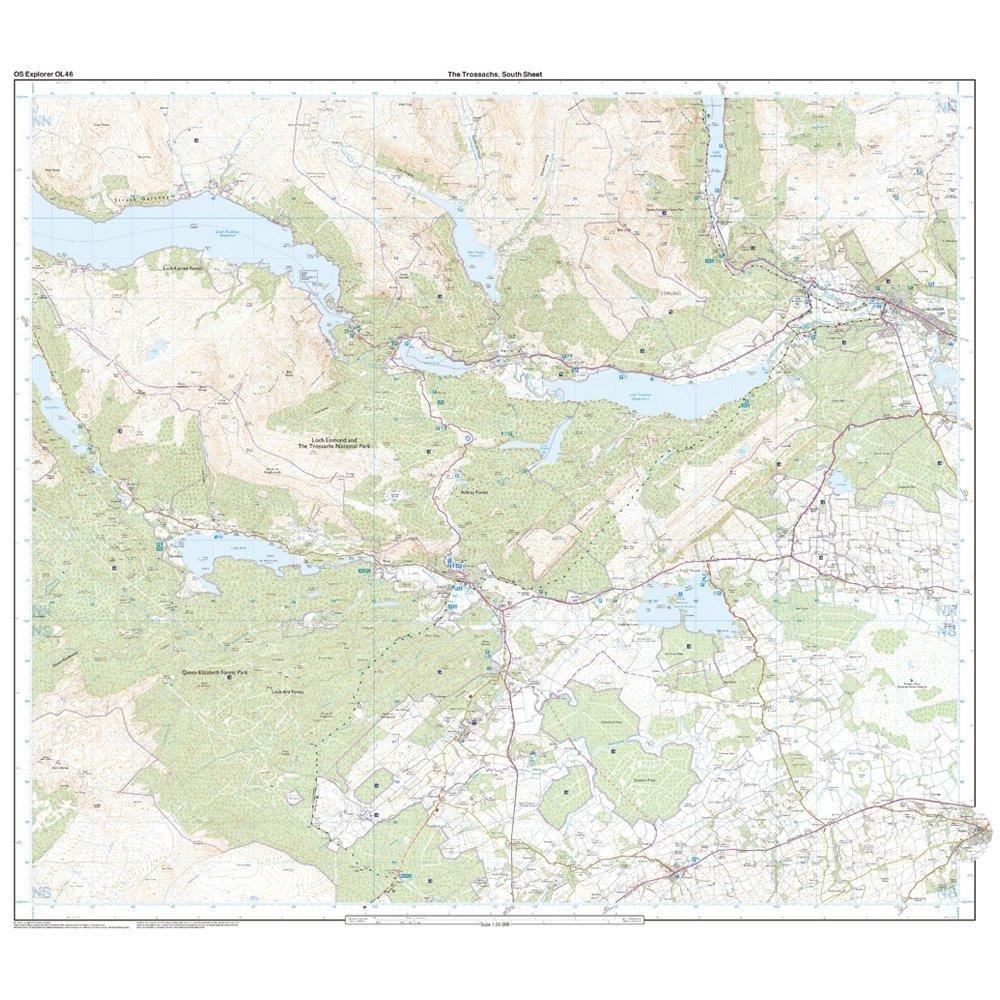
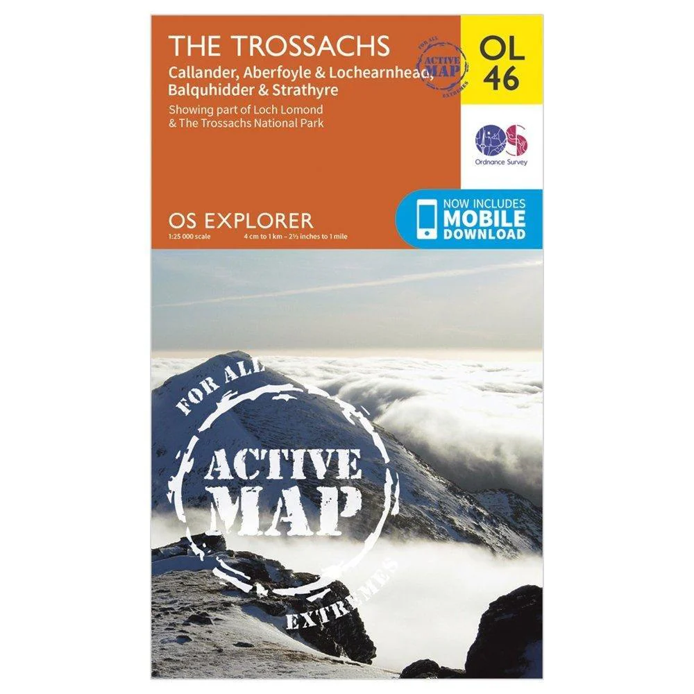
Explorer Active OL46 The Trossachs Map With Digital Version
The essential map for outdoor activities in Kielder Water and Forest. The OS Explorer Map is the Ordnance Survey's most detailed folding map and is recommended for anyone enjoying outdoor activities including walking, horse riding and off-road cycling. This map now comes with a digital version which you can download to your smartphone or tablet.
Features
- Pennine Way (National Trail)
- E2 (European Long Distance Route)
- Borders
- Northumberland
- 1:25 000 scale (4 cm to 1 km ' 2.5 inches to 1 mile)
- This map comes with a digital version which you can download to your smartphone or tablet.
$17.00
Explorer Active OL46 The Trossachs Map With Digital Version—
$17.00

Description
The essential map for outdoor activities in Kielder Water and Forest. The OS Explorer Map is the Ordnance Survey's most detailed folding map and is recommended for anyone enjoying outdoor activities including walking, horse riding and off-road cycling. This map now comes with a digital version which you can download to your smartphone or tablet.
Features
- Pennine Way (National Trail)
- E2 (European Long Distance Route)
- Borders
- Northumberland
- 1:25 000 scale (4 cm to 1 km ' 2.5 inches to 1 mile)
- This map comes with a digital version which you can download to your smartphone or tablet.