🎉 Up to 70% Off Selected ItemsShop Sale
Explorer Active OL37 Cowal East Dunoon & Inveraray Map With Digital Version
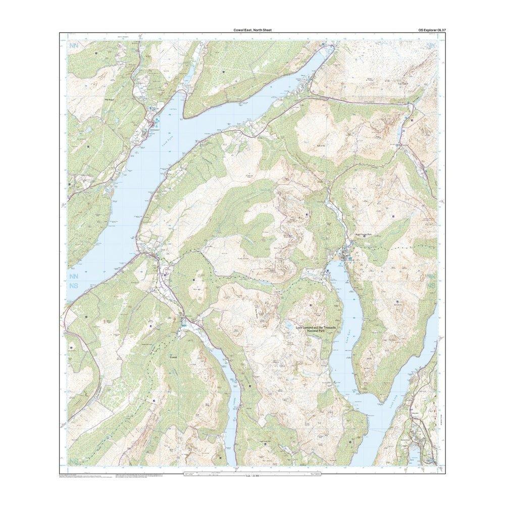
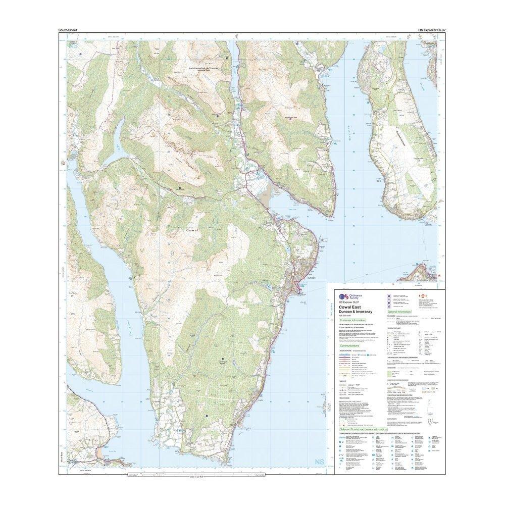
- Detailed and informative explorer map of Cowal East from Ordnance Survey
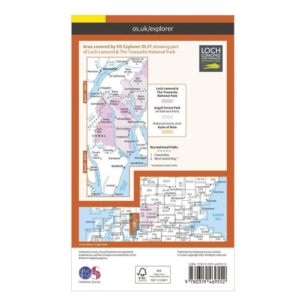
- Covers Loch Lomond, The Trossachs National Park, Argyll Forest Park, Kyles of Bute, Loch Fyne, Holy Loch and West Island Way
- Scale: 1:25000
- Now includes Mobile Download
- Active weatherproof version
- Recommended activity - walking / hiking / cycling / navigation / expedition
$5.10
Original: $17.00
-70%Explorer Active OL37 Cowal East Dunoon & Inveraray Map With Digital Version—
$17.00
$5.10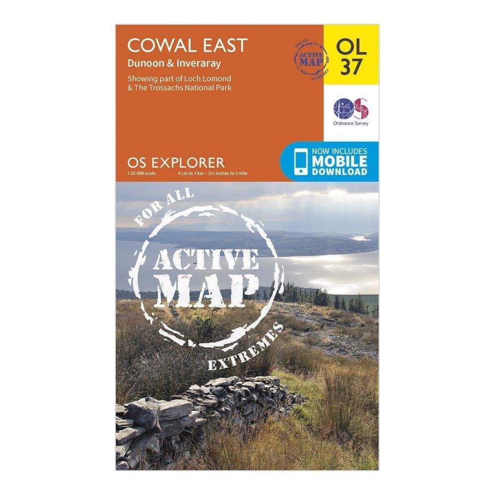
Description
- Detailed and informative explorer map of Cowal East from Ordnance Survey
- Covers Loch Lomond, The Trossachs National Park, Argyll Forest Park, Kyles of Bute, Loch Fyne, Holy Loch and West Island Way
- Scale: 1:25000
- Now includes Mobile Download
- Active weatherproof version
- Recommended activity - walking / hiking / cycling / navigation / expedition