🎉 Up to 70% Off Selected ItemsShop Sale
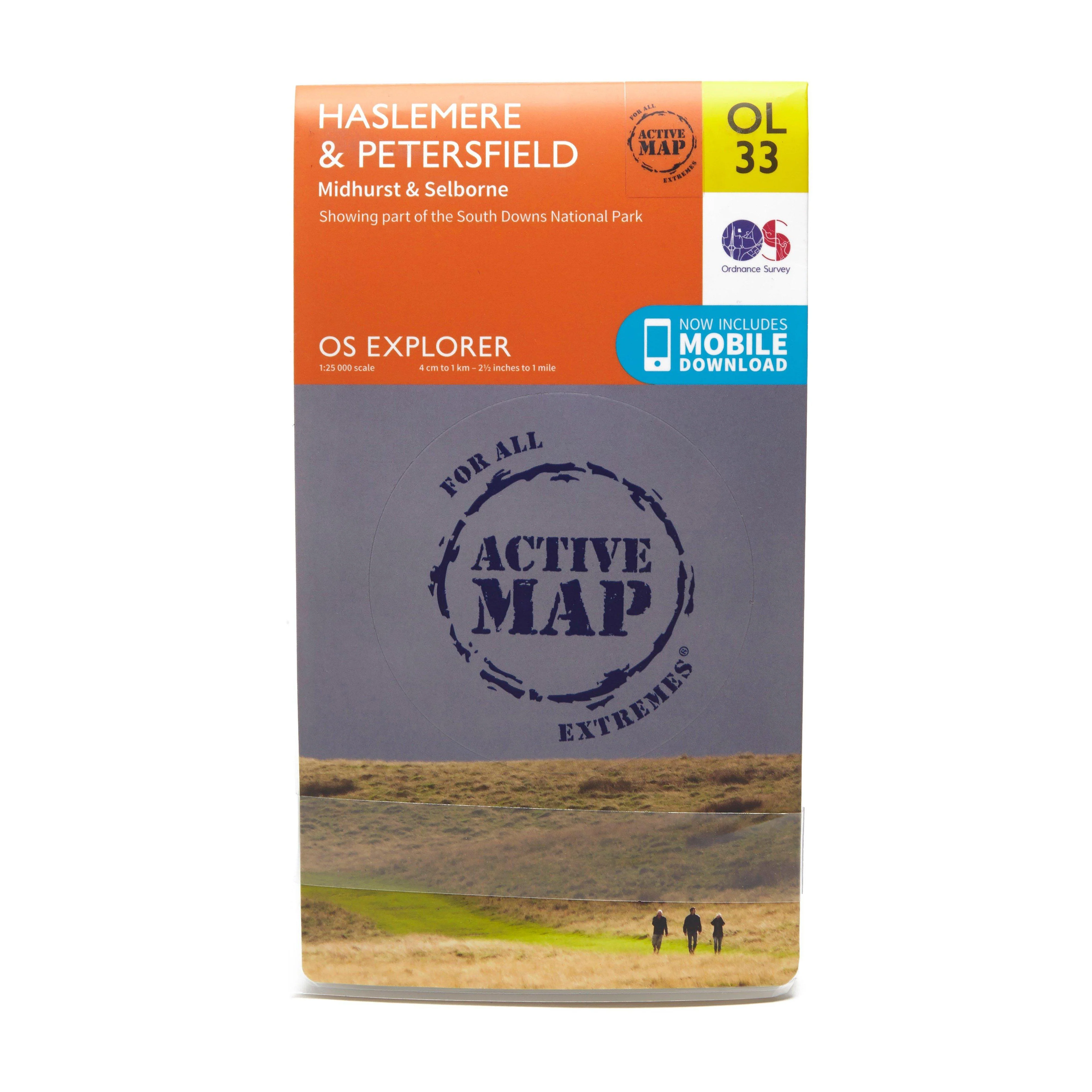
Explorer Active OL33 Haslemere & Petersfield Map
Features
- South Downs
- Sussex Border Path
- Greensand Way
- Hangers Way
- Hampshire
- Surrey
- West Sussex
- Alton
- Haslemere
- Midhurst
- Petersfield
- 1:25 000 scale (4 cm to 1 km ƒ?? 2.5 inches to 1 mile)
- This map comes with a digital version which you can download to your smartphone or tablet.
$5.10
Original: $17.00
-70%Explorer Active OL33 Haslemere & Petersfield Map—
$17.00
$5.10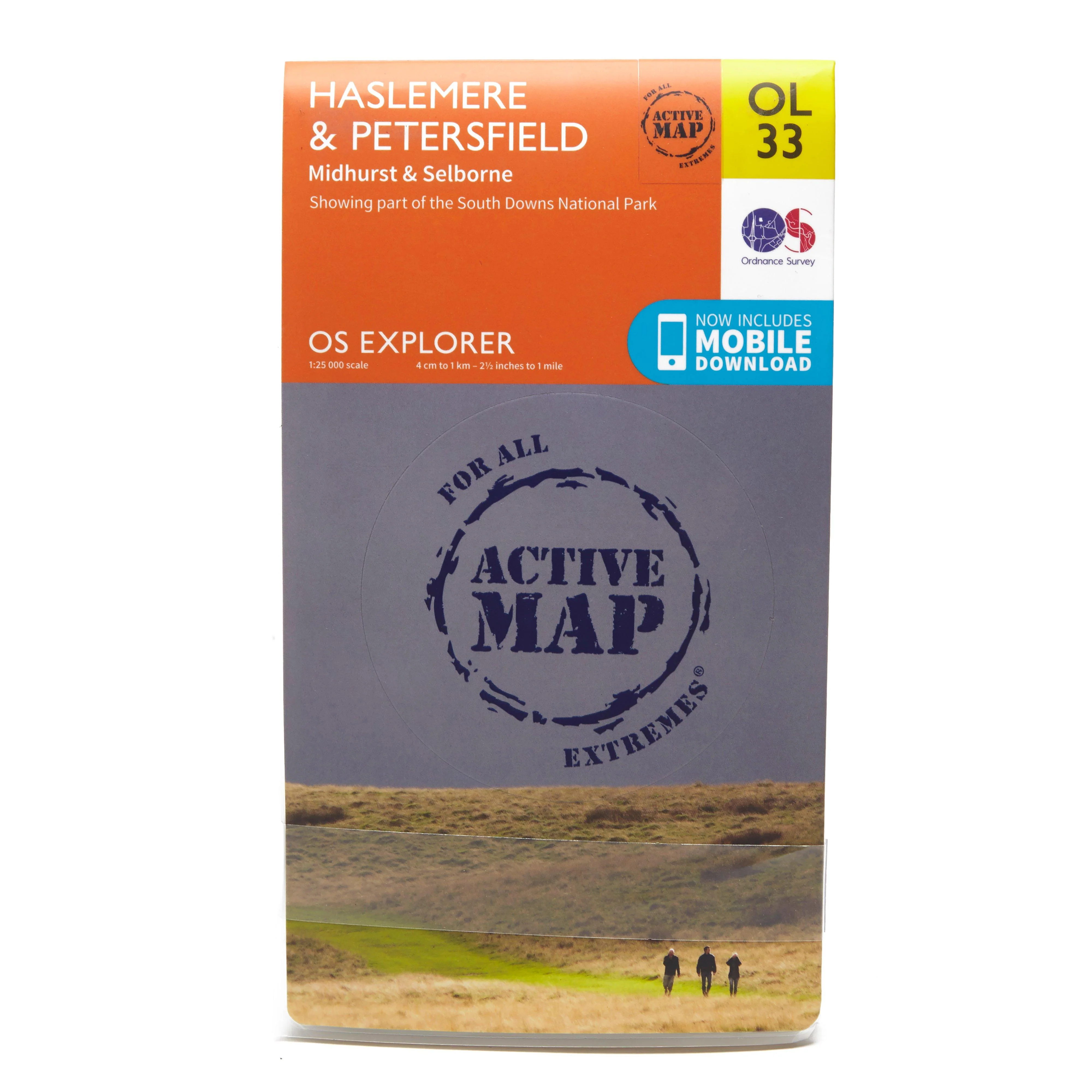
Description
Features
- South Downs
- Sussex Border Path
- Greensand Way
- Hangers Way
- Hampshire
- Surrey
- West Sussex
- Alton
- Haslemere
- Midhurst
- Petersfield
- 1:25 000 scale (4 cm to 1 km ƒ?? 2.5 inches to 1 mile)
- This map comes with a digital version which you can download to your smartphone or tablet.