🎉 Up to 70% Off Selected ItemsShop Sale
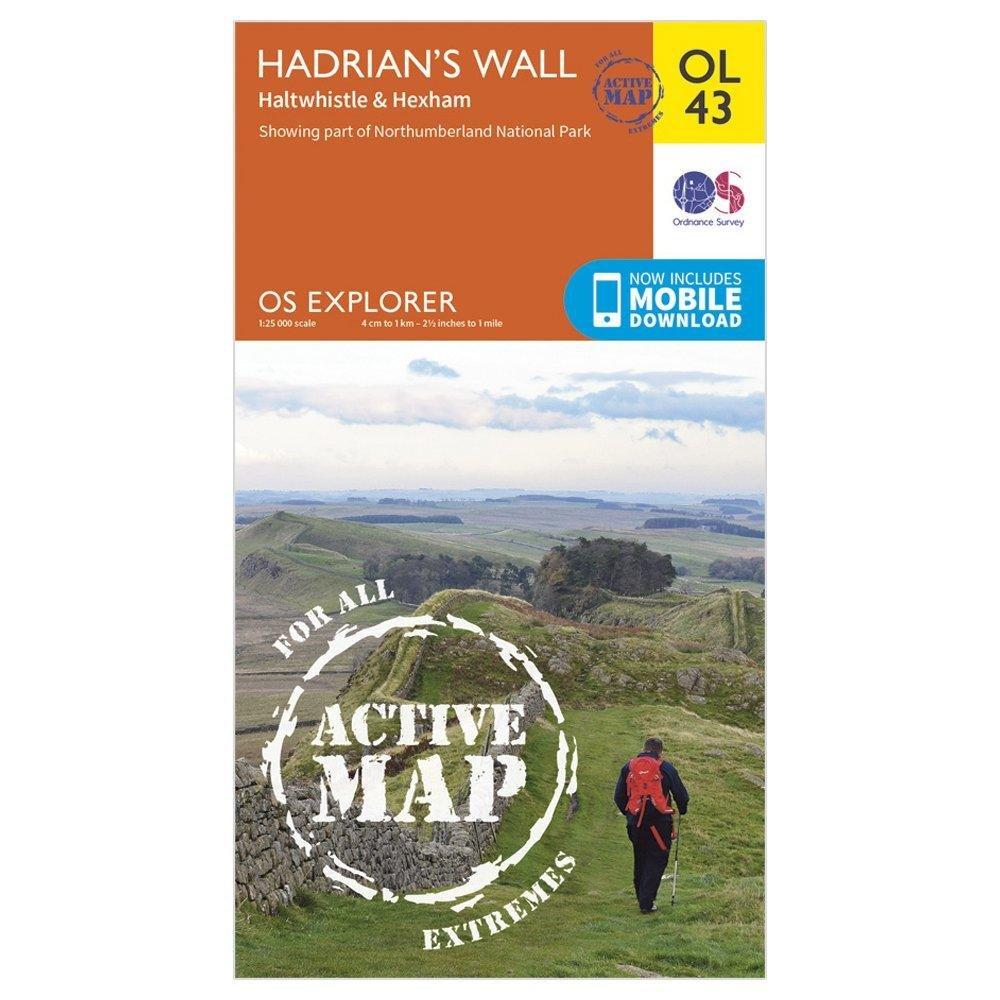
Explorer Active OL 43 Hadrian's Wall Map
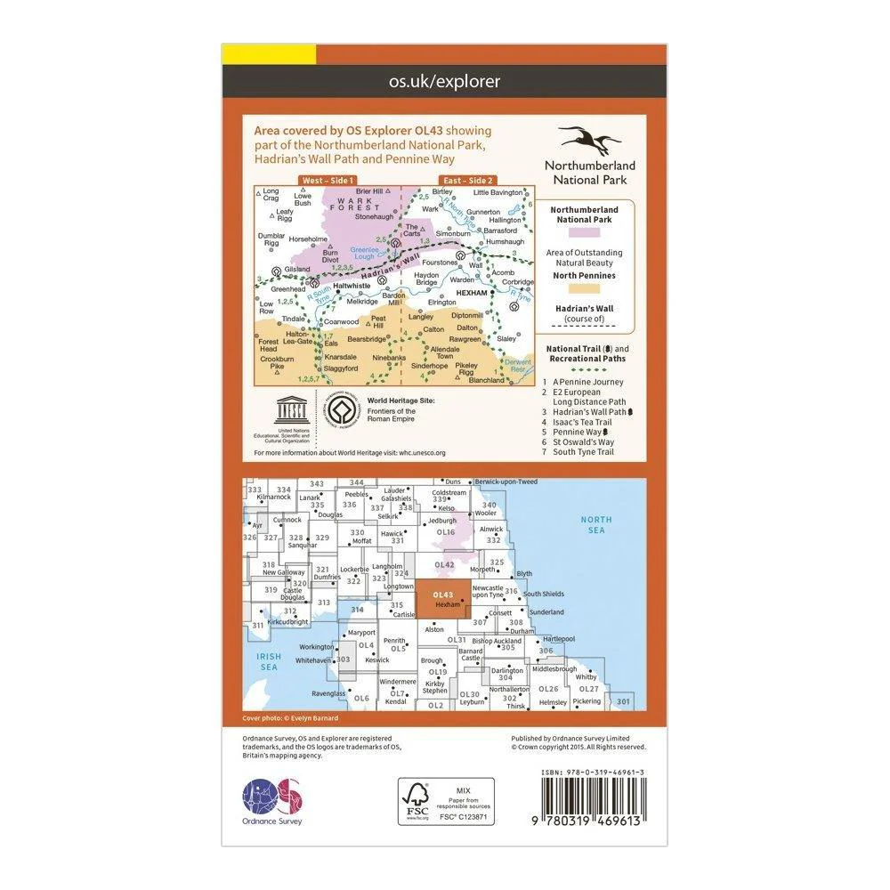
Features
- Pennine Way
- Hadrian’s Wall Path
- South Tyne Trail
- Pennine Way (National Trail)
- E2 (European Long Distance Route)
- Hadrian's Wall Path (National Trail)
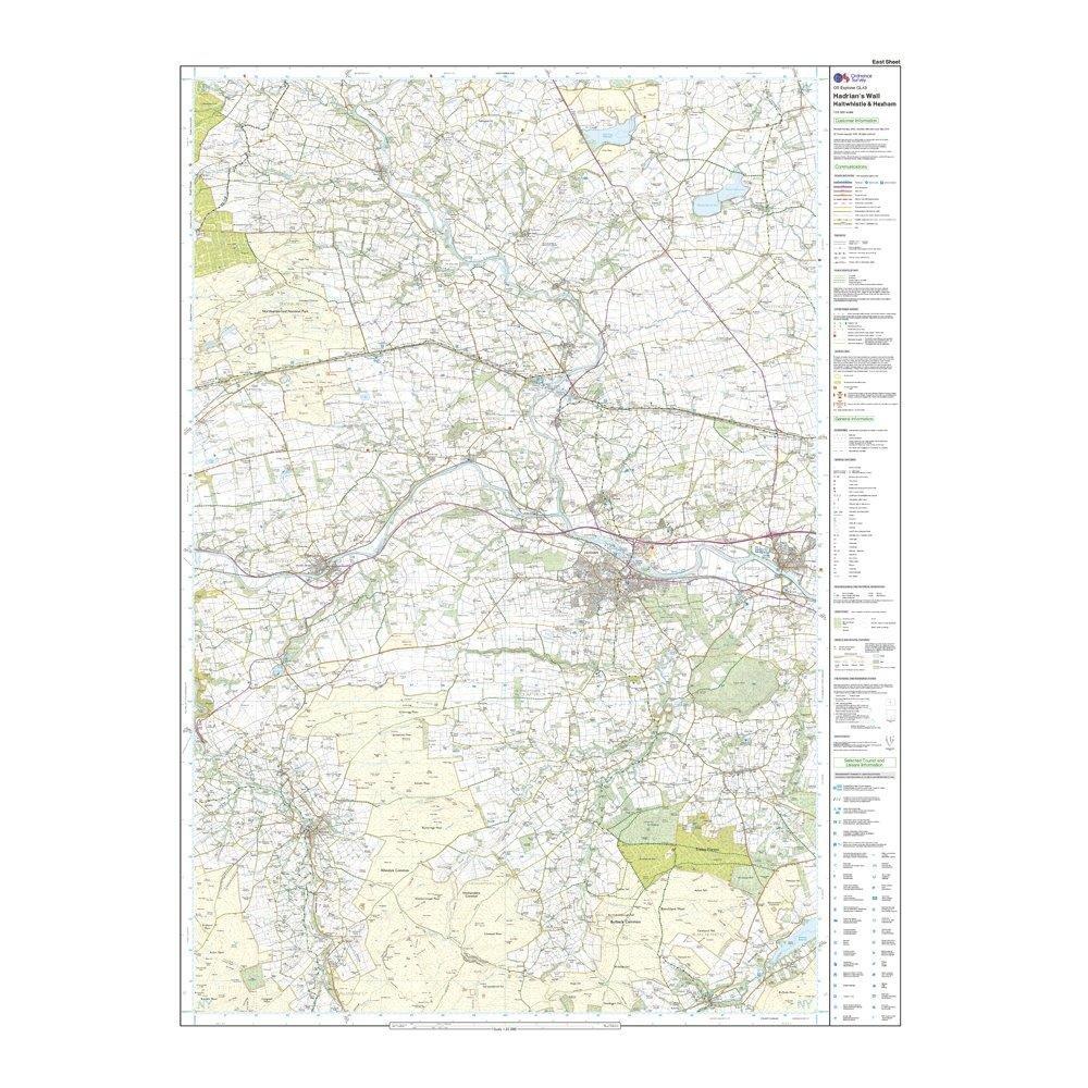
- Corbridge
- Hexham
- Cumbria
- Northumberland
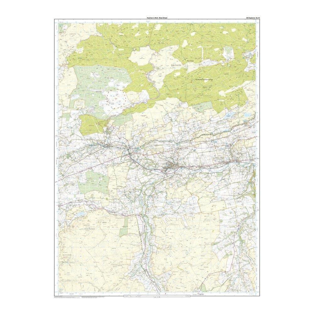
- 1:25 000 scale (4 cm to 1 km – 2.5 inches to 1 mile)
- This map comes with a digital version which you can download to your smartphone or tablet.
$5.10
Original: $17.00
-70%Explorer Active OL 43 Hadrian's Wall Map—
$17.00
$5.10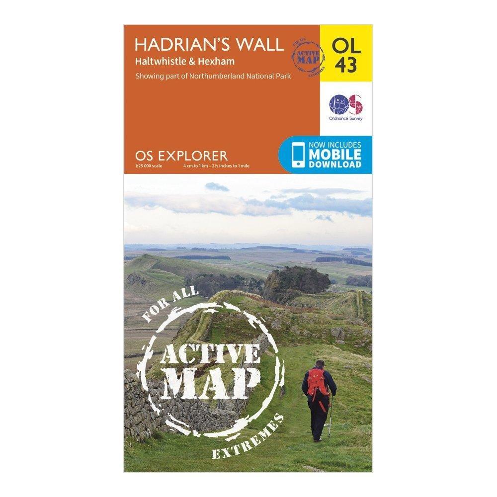
Description
Features
- Pennine Way
- Hadrian’s Wall Path
- South Tyne Trail
- Pennine Way (National Trail)
- E2 (European Long Distance Route)
- Hadrian's Wall Path (National Trail)
- Corbridge
- Hexham
- Cumbria
- Northumberland
- 1:25 000 scale (4 cm to 1 km – 2.5 inches to 1 mile)
- This map comes with a digital version which you can download to your smartphone or tablet.