🎉 Up to 70% Off Selected ItemsShop Sale
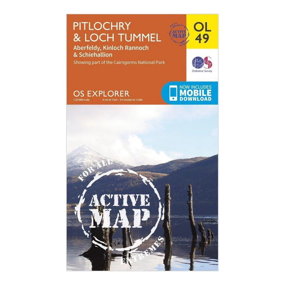
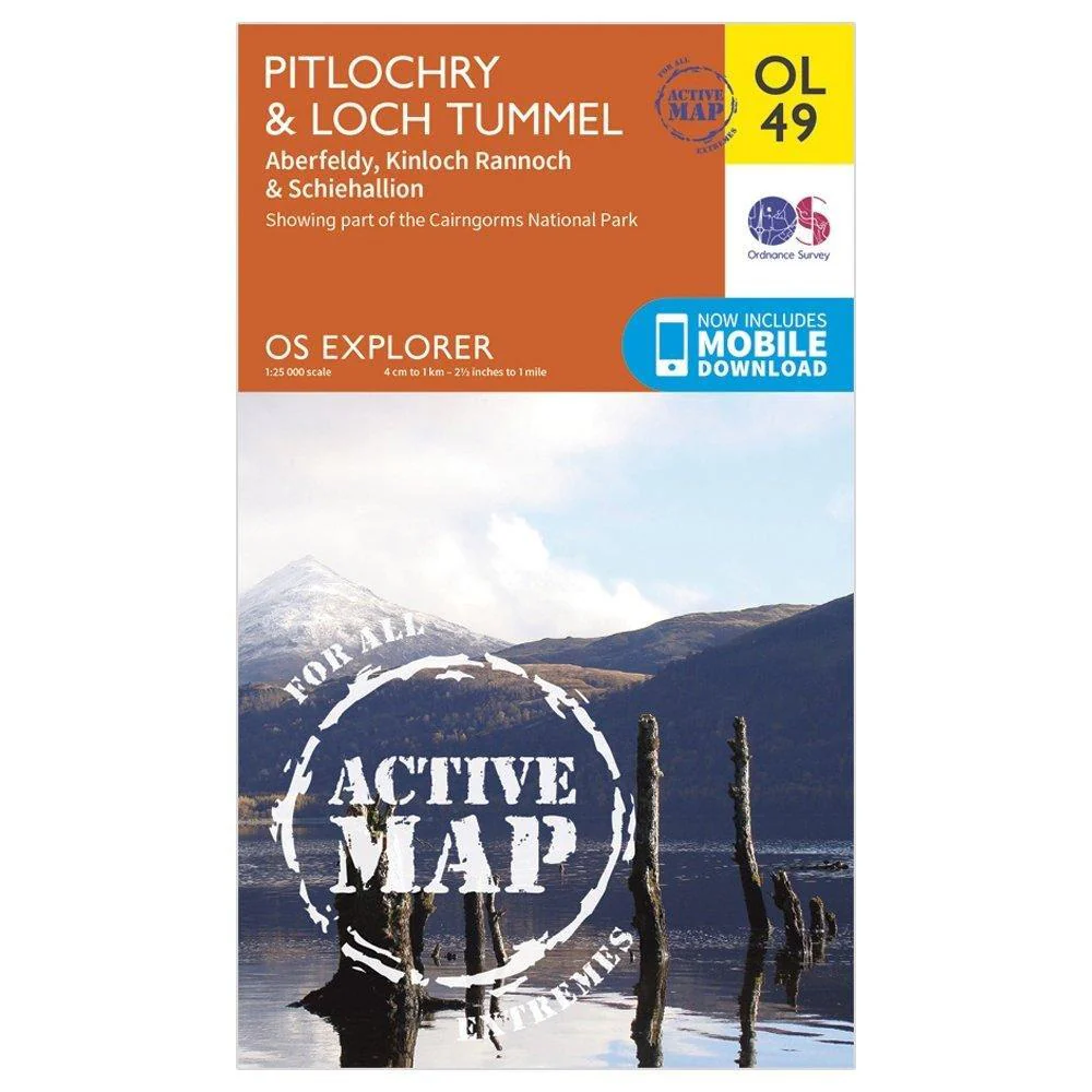
Active Explorer OL 49 Pitlochry & Loch Tummel Map
Features
- Detailed and informative explorer map of Pitlochry & Loch Tummel from Ordnance Survey
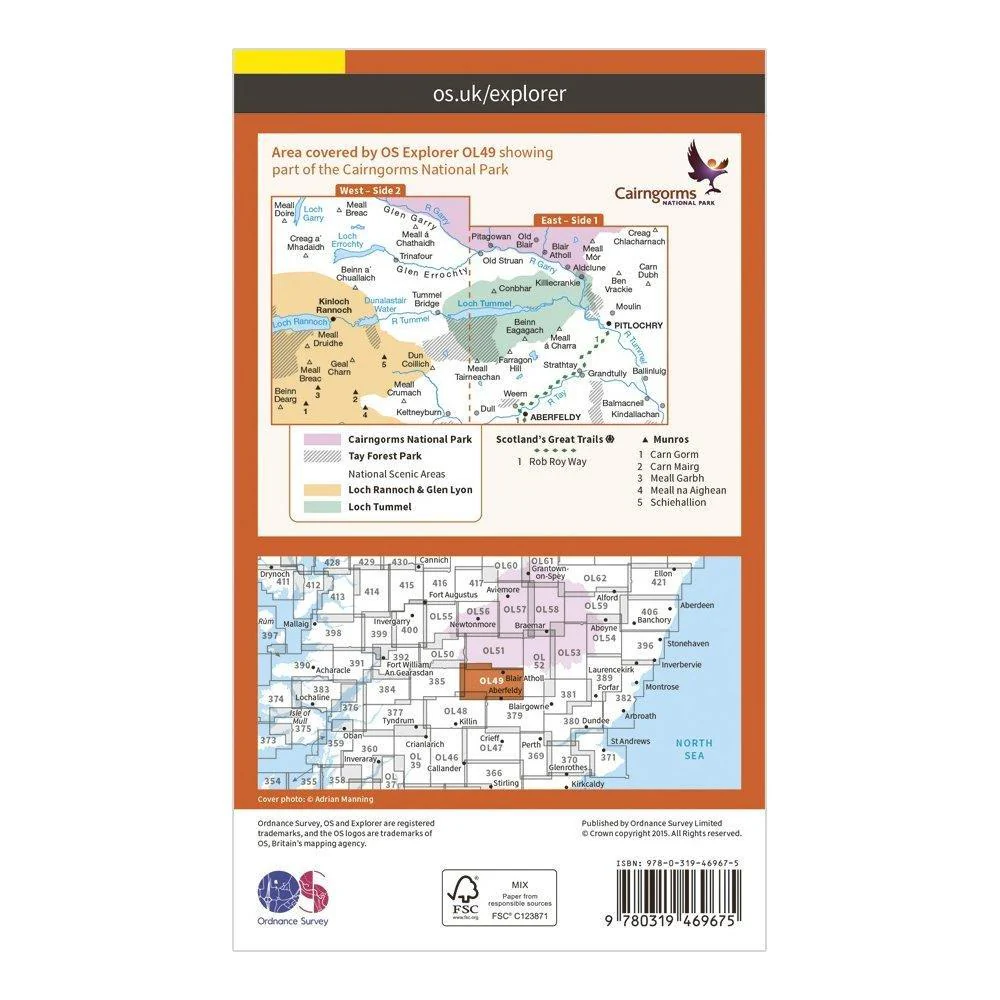
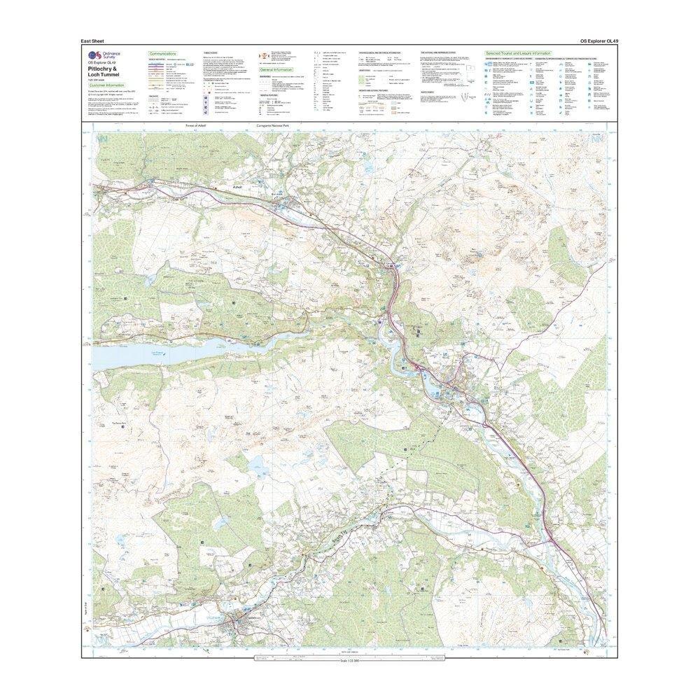
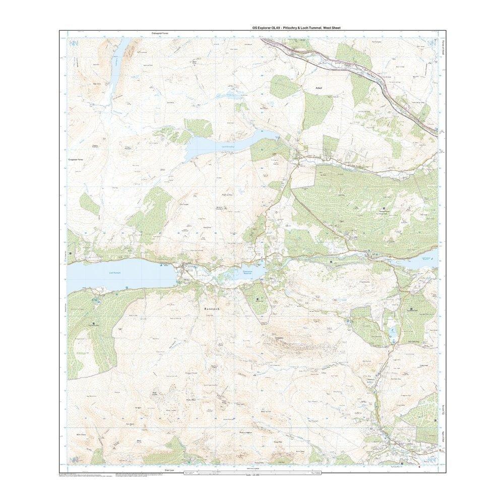
- Covers Loch Tummel and the Clunie Damn, eastern Loch Rannoch, and the towns of Pitlochry, Aberfeldy and Kinloch Rannoch
- Scale: 1:25000
- Now includes Mobile Download
- Active weatherproof version
- Recommended activity - walking / hiking / cycling / navigation / expedition
$17.00
Active Explorer OL 49 Pitlochry & Loch Tummel Map—
$17.00
Description
Features
- Detailed and informative explorer map of Pitlochry & Loch Tummel from Ordnance Survey
- Covers Loch Tummel and the Clunie Damn, eastern Loch Rannoch, and the towns of Pitlochry, Aberfeldy and Kinloch Rannoch
- Scale: 1:25000
- Now includes Mobile Download
- Active weatherproof version
- Recommended activity - walking / hiking / cycling / navigation / expedition